


Jump to section
Right-of-Way Redesign
Redesigning and reallocating space in the Right-of-Way can better support emerging transportation modes.
Right-of-Way (ROW) space has long been the territory of cars. While bike, pedestrian, and transit advocates have long tried to reclaim ROW space for non-car modes, they have been met with varying degrees of success. The emergence of new mobility modes and services may spur the demand needed to more effectively reallocate the ROW. Even though it may be new mobility modes that create this renewed interest in ROW allocation, continuing to advocate for space for cyclists, pedestrians, and transit are also important elements of ROW plan revisions.
Issues & approaches
Remove or Eliminate On-Street and Off-Street Parking: With parking demand decreasing due to the rise of new mobility modes and declining personal vehicle use, parking both on and off the street can be reduced or eliminated. On-street parking is not an efficient use of ROW space. Whereas a 20-foot stretch of curbside space could serve 1 passenger per hour parking their personal vehicle in an on-street parking spot, that same 20 feet of curb space could serve up to 160 transit passengers per hour. Repurposing spaces currently devoted to parking would help create space for dedicated transit infrastructure, new mobility devices, pick-up and drop-off areas, and other more diverse uses in the ROW.
Move Buildings Toward the Street: Reducing or eliminating parking between buildings and the street would also allow buildings to be built all the way to the street or sidewalk. By meeting the street, buildings help form a continuous streetwall that frames the street, improves building-street interactions, and creates a more inviting pedestrian environment.
Create Designated Pick-Up and Drop-Off Locations (for TNCs and AVs): Creating designated pick-up and drop-off locations for TNC and AV passengers can help improve traffic flow while minimizing the safety risks of in-lane loading and disembarking. For on-street pick-up and drop-off zones, the location of these zones should be considered in relation to other curb uses in order to maximize the efficiency of curb space usage. Pick-up and drop-off zones can also be located off-street. Consideration of the impact on congestion that these zones would have, the anticipated volume and quantity of trips expected, and the potential for mode conflicts can help inform placement choices.
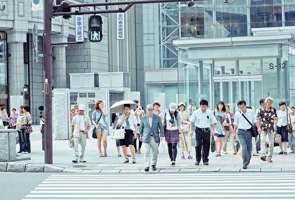
Minimize Mode Conflicts: With increasing demands for curb access, the potential for conflicts between modes also increases. Wherever one type of vehicle must cross a lane meant for the use of another type of vehicle to turn or access the curb, the potential for crashes grows. Especially for less-protective modes, such as bikes, micromobility devices, and pedestrians, designing to minimize conflicts between modes in shared spaces is critical for ensuring the safety of all users. Assigning maximum speeds for each mode present in a space can also help prevent conflicts between modes of differing speed capacities.
Consider Delivery Locker Locations: Increases in e-commerce deliveries has added to congestion at and demand for curb spaces. Adding delivery lockers in the furnishing zone of sidewalks could centralize and expedite the delivery process, increasing efficiency and easing congestion. ROW redesigns can support these efforts by coordinating curbside delivery access points near where delivery lockers are located.
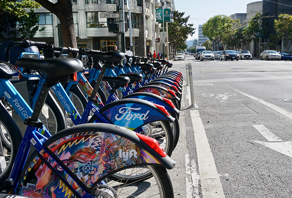
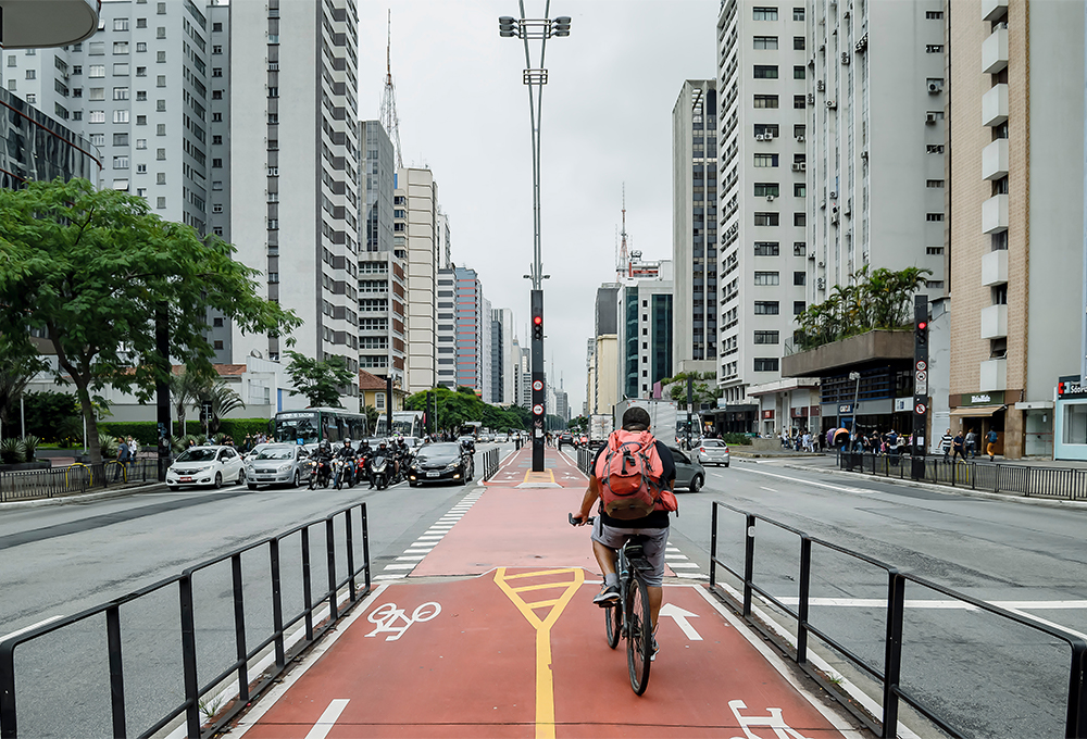
Micromobility Lanes: Adding micromobility lanes to the ROW can help promote the safe and appropriate use of these devices. Using separated and protected lanes wherever possible creates pleasant riding environments. Similar to bike lane networks, prioritizing the creation of continuous micromobility lane networks would benefit users of both privately owned and shared micromobility devices while promoting less impactful forms of transportation.
Micromobility Parking and Charging: Establishing designated zones for micromobility parking and charging can help prevent clutter while providing needed services for these devices. Incorporating digital enforcement techniques such as geofencing help encourage riders to park their devices in designated locations.
Reconsider Lane Space Allocation: Since AVs will likely require less lane width than human-driven cars, reducing the lane width of AV lanes would make more ROW space available for other uses. SImilarly, as personal vehicle use declines in favor or other modes, lane space currently dedicated to cars can also be repurposed into more diverse uses. Transit islands and other features that are inconvenient to cars but useful for other modes can be added when lane width space is reclaimed. This recaptured space also provides opportunities for planting areas in center islands, adding grass surfaces in dedicated train and bus tracks to create more pleasant streetscapes that also support environmental health. However, AV lanes should only be created in cases where doing so supports community goals. Otherwise, adding these lanes may encourage low-occupancy vehicle use.
Consider Drone Delivery: Though they are not in widespread use yet, drones should also be considered when redesigning the ROW. If drones are to travel on roadways or sidewalks, establishing rules for their use will help ensure the safety and unencumbered passage of other people and vehicles using the same shared spaces. Such rules could include topics of visibility, size, speed, total number of fleets, and so forth.
Test Drone Delivery: Pilots and limited-duration testing periods can be used to test changes to the layout of the ROW. Using temporary materials to fully or partially implement proposed solutions allows both decision-makers and community members to utilize the reconfigured spaces and offer feedback before the changes are finalized. Implementing changes in phases also gives the community a chance to react and adjust to smaller adjustments, which may improve public support of the final implementation.
Examples/case studies
Lane Space Allocation - People-Centric Approach
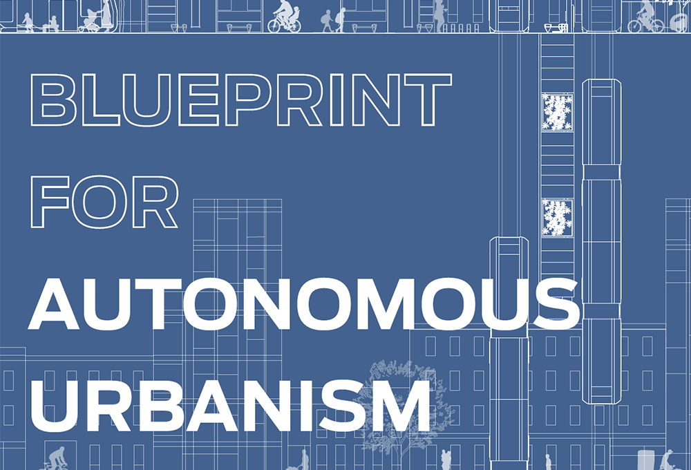
Blueprint for Autonomous Urbanism (Second Edition)
View - National Association of City Transportation Officials (NACTO)
The second edition of NACTO’s Blueprint for Autonomous Urbanism outlines how autonomous technologies can complement goals of increased sustainability, equity, and livability in cities.

Pick-Up and Drop-Off - Establishing Designated Zones
Cincinnati Curb Study
View - Fehr & Peers for Uber Technologies
This study by Fehr & Peers for Uber analyzes curb activity at ‘hot spot’ zones and outlines strategies for context- and need-based curb management zones to alleviate traffic management issues.
Micromobility Parking and Charging - Pilot Program
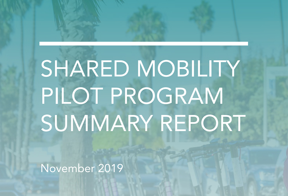
Shared Mobility Pilot Program Summary Report
View - City of Santa Monica
This analysis of the City of Santa Monica’s shared electric scooters and bike pilot program outlines the results and learnings from the City’s 2018-2019 pilot.
Related topics
Walking
How will new mobility technologies impact walking mode share? How will AVs interact with pedestrians?
Micromobility
Shared micromobility devices like bikes, e-bikes, and e-scooters are becoming new fixtures of transportation. How will micromobility integrate with other transportation modes?
Street Design
As new transportation modes emerge and demands for street space increase, how can the needs of all modes be met?
See something that should be here that isn't? Have a suggestion to make?